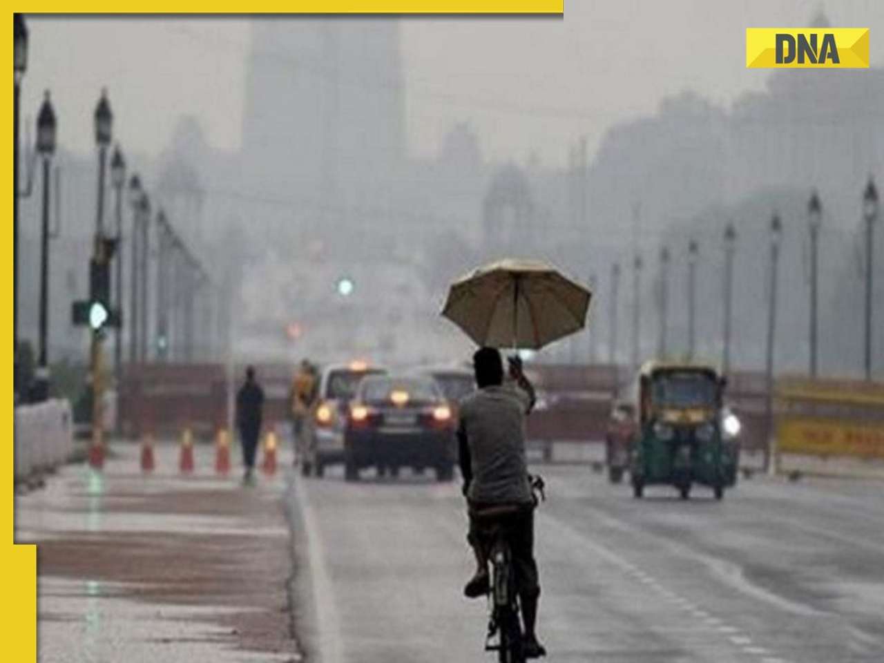
Mithi is an arterial river flowing through the heart of Mumbai. To ensure Mithi does not flood in future, geomorphological aspects of the river need to be studied in depth.
Mithi is an arterial river flowing through the heart of Mumbai. To ensure Mithi does not flood in future, geomorphological aspects of the river need to be studied in depth. However, authorities seem to have overlooked key geological aspects while undertaking the Mithi development work leaving scope for future river outbursts.
Every river has a channel pattern — a network pattern formed by its tributaries, width, depth, side-bank elevations, slopes,etc. To appreciate a river regime, these parameters must be considered.
In Mithi’s case, a Survey of India 1976 topographical map shows that the river commences on eastern hilly slopes situated to west of Vihar Lake. The slope to the north of Gonpada village near Powai (shown in map) is fairly steep and conducts a good volume of rainwater.
During heavy rains, the discharge is sufficient to flood the river. A good amount of basaltic soil gets eroded by rainwater and washed into the river. This reduces the river-depth.
Apart from widening the river mouth, it is necessary to reduce the quantum of rainwater discharge and decrease soil erosion. It is suggested that a check-dam be constructed at an appropriate location in the upper reaches of the river; building a dam is a conventional method of containing floods. Likewise, there are many standard techniques to check soil erosion. These include cutting benches (bunds) on hill-slope to facilitate more rainwater infiltration in the soil and growing trees etc. Rivers have natural floodplains on their banks that act as buffer zones to receive excess flood water.
Buffer zones must be provided along the widened Mithi bank. Straightening of meander loops along rivers can reduce flooding possibilities and in this context it may be a good idea to cut short the loop present in the river near Powai Lake by constructing a canal or a tunnel.
The author is a leading geomorphologist and ex- IIT professor. He spoke to Sandeep Ashar


)
)
)
)
)
)