On Monday, a significant earthquake of magnitude 7.8 occurred in northwest Syria and central Turkey.
A 7.8-magnitude earthquake that hit Turkey on Monday was followed by another powerful tremor that was felt in various provinces in the area and caused some structures to collapse, according to sources.
1. Turkey earthquake of 7.8 magnitude: Photos of devastations after tremors
)
According to the US Geological Survey, the epicentre of the earthquake was around 26 kilometres (16 miles) from the town of Nurdagi and 33 kilometres (20 miles) from Gaziantep. The US Geological Survey determined that its centre was 18 kilometres (11 miles) below the surface.
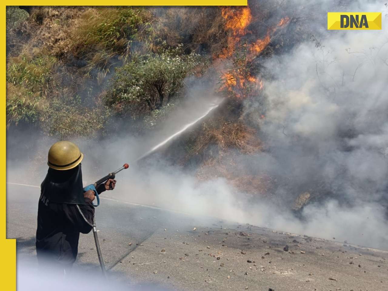
2. Turkey earthquake of 7.8 magnitude: Photos of devastations after tremors
)
According to the US agency, the earthquake occurred at 04:17 local time (0117 GMT) at a depth of roughly 17.9 kilometres (11 miles), and 15 minutes later, a 6.7-magnitude aftershock occurred.
3. Turkey earthquake of 7.8 magnitude: Photos of devastations after tremors
)
Rescuers were seen sifting through the wreckage of demolished buildings in the cities of Karamanmaras and Gaziantep in images that appeared on Turkish television and social media.
4. Turkey earthquake of 7.8 magnitude: Photos of devastations after tremors
)
At least 195 people were killed and several buildings were destroyed in Turkey and Syria. The death toll is expected to grow. According to 440 injured persons and approximately 100 verified fatalities, Turkey's state media. In the province of Malatya, at least 130 buildings fell, while 16 did so in Diyarbakir. The search for survivors buried beneath the debris has begun.
5. Turkey earthquake of 7.8 magnitude: Photos of devastations after tremors
)
Ankara, the capital of Turkey, 460 kilometres to the northwest of the centre, also experienced tremors. Following the earthquake, Turkish officials have issued a "level 4 alarm" that requests assistance from other countries.