 Black Sea vessel attack: 3 Indians among crew injured, receiving treatment in Romania
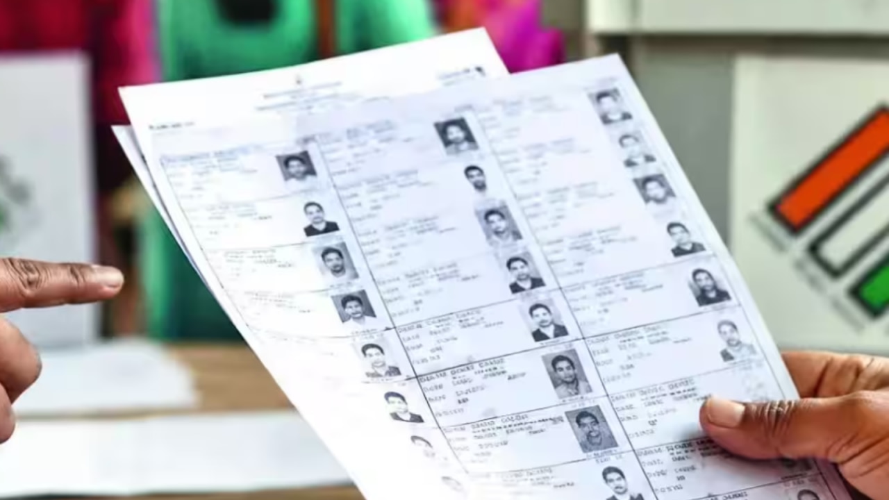 Karnataka voter deletion row: CEO says no name deleted through Form 7 amid bulk filing allegations
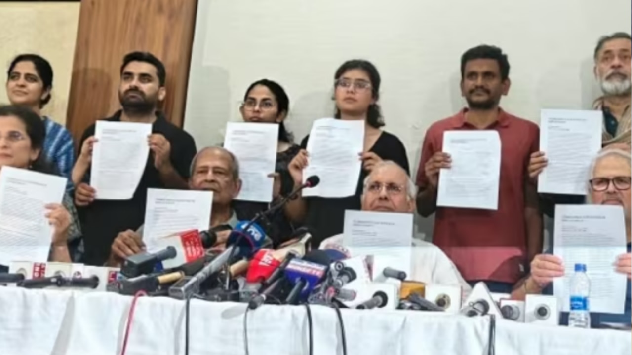 CEC Gyanesh Kumar faces impeachment notice from former officials; what are allegations?
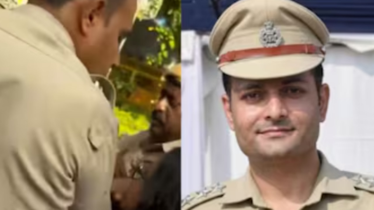 Anti-CEC Protest: Why was Delhi cop accused of sexually harassing journalist promoted to Additional DCP?
 Honey Singh skips Maharashtra Cyber questioning: What happens next for the rapper?
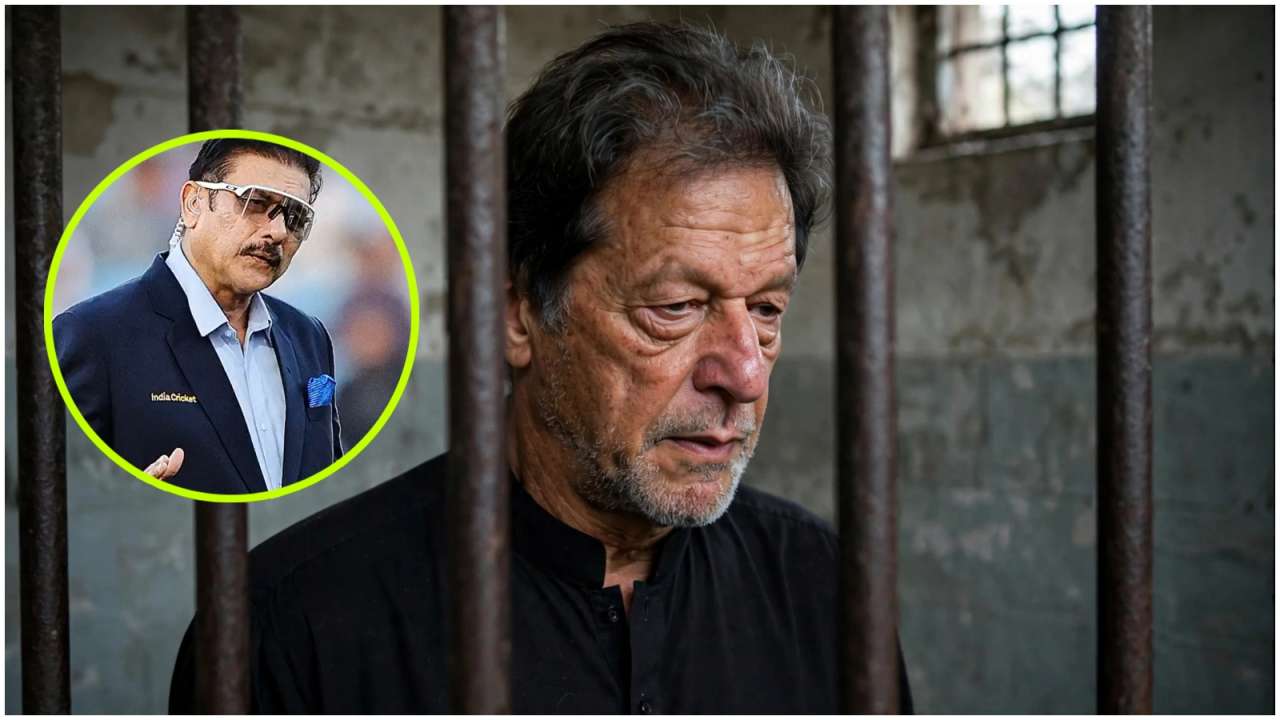 'Most recognised Pakistani face globally': Ravi Shastri breaks silence on Imran Khan’s treatment in jail
 Pakistan Champions finally get PCB clearance for WCL 2026: Is an India clash on the cards?
 Virat Kohli's sweet gesture for young fan in matching India kit during WI ODIs wins hearts; netizens react: 'Wow cute moment'
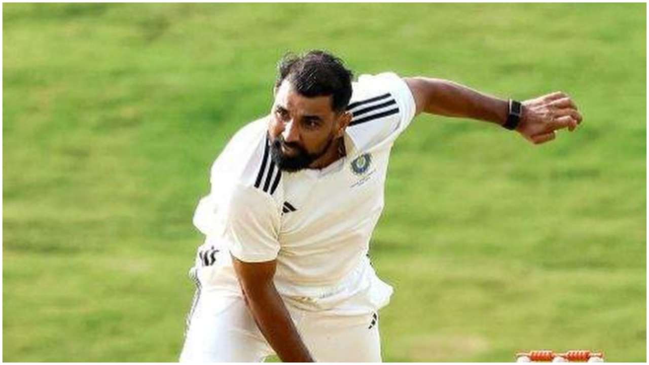 Mohammed Shami’s India comeback hopes take another hit, ex-star delivers blunt verdict
 Bhuvneshwar Kumar to lead Team India? Veteran pacer gets surprise captaincy call for six-a-side eventHoney Singh skips Maharashtra Cyber questioning: What happens next for the rapper?
 Jailer 2 trailer: Rajinikanth returns as Tiger Muthuvel Pandian, Hrithik Roshan's glimpse excites fans, netizens say 'Kollywood's biggest blockbuster loading'
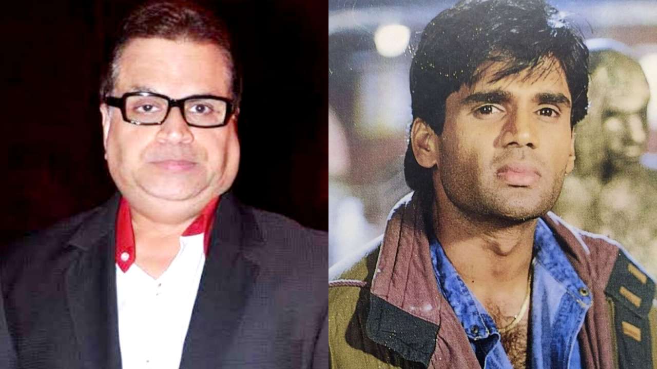 Why did Ramesh Taurani once refuse a film with Suniel Shetty? Producer reveals shocking reason
 Baseer Ali reveals why he broke up with ex-girlfriend even after she agreed to convert to Islam: 'Uske jitne gunaah hain...'
 Love & War: No big launch, just three posters of Ranbir, Alia, Vicky create enough curiosity for Sanjay Leela Bhansali's film | Opinion
 Delhi News: 'Create Fear In Minds Of Criminals': Supreme Court To Delhi Police On Rising RapesDelhi News: 'Create Fear In Minds Of Criminals': Supreme Court To Delhi Police On Rising Rapes
 Russia News: Researcher Dies Of 'Mystery' Pneumonic Plague; Hundreds Quarantined, 5 Hospitals Shut
 ECI Row: 'We Did Not Approve Revised Form 6'; CJI Surya Kant Rejects ECI Claim
 CJP News: 'Gyanu Must Go' Slogans Target CEC Gyanesh Kumar At CJP Rally | Mumbai Protest
 Gen Z Finance: From lifestyle spending, credit cards to financial planning—What experts suggest
 FCNR inflows cushion rupee, BoP, but sustained stability hinges on FII flows: Report
 Gold, Silver prices today, October 2, 2026: Check city-wise rates in Delhi, Mumbai, Chennai, Kolkata and more
 New Money Rules From October 1: What changes in Banking, Tax, UPI & Savings? Check full list
 Export schemes extended: RoDTEP, RoSCTL till December 31, RELIEF till March 2027| Explained
 OTT Releases This Week (Sept 28 - Oct 4): Dupahiya 2, Pooja Meri Jaan; new movies and shows to watch this Gandhi Jayanti weekend
 From Neeti Mohan, Heer, Sarthak Kalyani; Ahead of Sa Re Ga Ma Pa, 5 musical geniuses championed by AR Rahman
 72nd National Film Awards 2024: Kartik Aaryan, Yami Gautam, Aditya Dhar, Mammootty, Dhanush, Anant Nag accept honours
 OTT Releases This Week (September 14-20): Lust Stories 3, Irumudi, Thudakkam; Indian movies, series to watch on Netflix, Prime Video, JioHotstar
 Ganesh Utsav 2026: Deva Shree Ganesha, Sindoor Lal Chadayo; 5 iconic Ganpati songs that should be must-haves in your playlistKarnataka voter deletion row: CEO says no name deleted through Form 7 amid bulk filing allegationsCEC Gyanesh Kumar faces impeachment notice from former officials; what are allegations?Anti-CEC Protest: Why was Delhi cop accused of sexually harassing journalist promoted to Additional DCP?
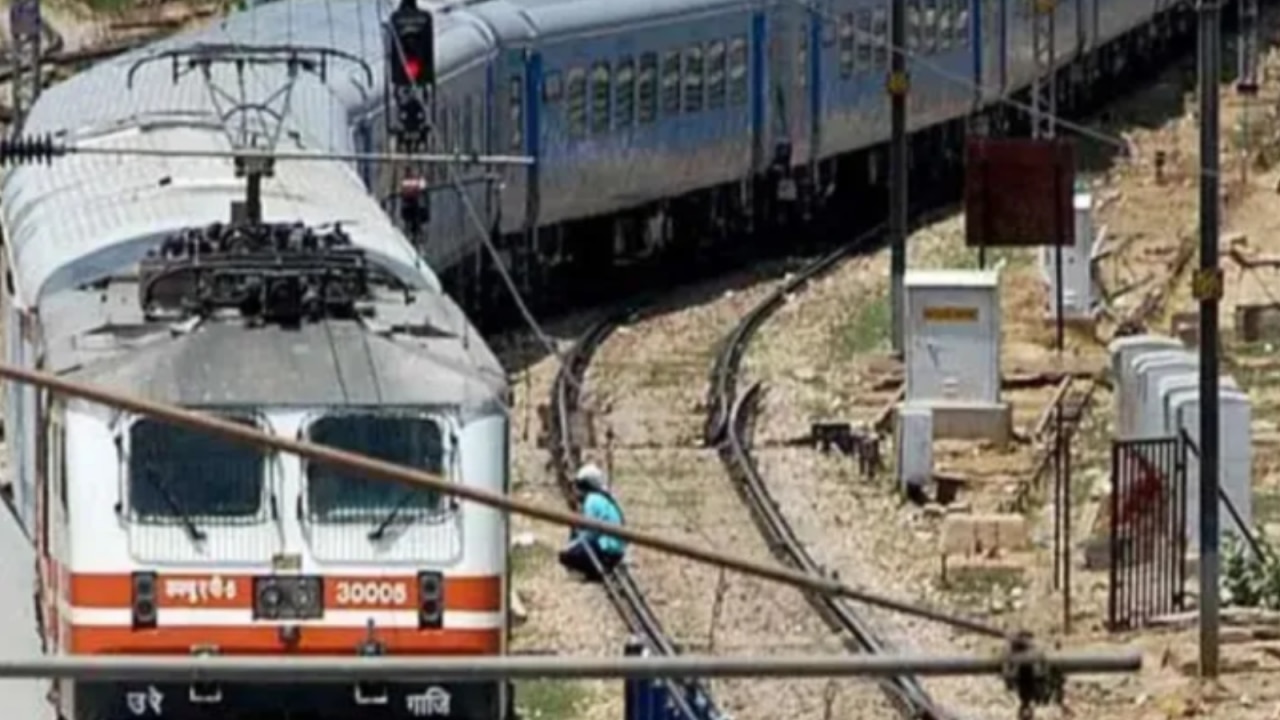 Why did Shatabdi Express locomotive skid on wet rails? Railway Board orders RDSO probe
 Form 6 row: Rahul Gandhi targets CEC Gyanesh Kumar after Supreme Court clarification
 Third Language Row: SC extends relaxation to Class 6 students, asks CBSE to grant exemption, here's what it means
 NEET PG 2026 Result Out: Check how to download scorecard from natboard.edu.in; Know category-wise cut-off and more
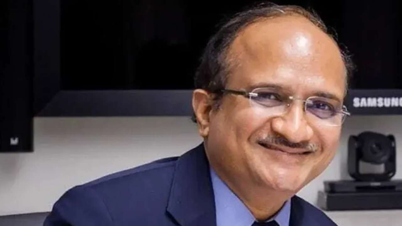 Five-year BTech programmes? Ex-IIT director makes proposals amid IIT suicide controversy
 CBSE Date Sheet 2027: When will Class 10, 12 timetable be released? Check details here
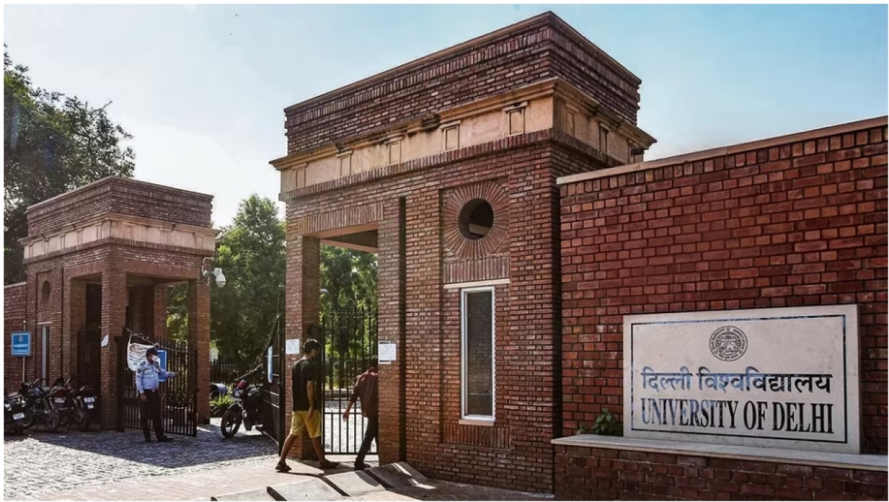 From Rs 150 in 1947 to powerful student body: The story of DUSU’s rise | Explained
 After Hyundai, Maruti Suzuki makes cars costlier ahead of festive season: Check new prices after hike
 Hyundai cars to get costlier from September: Check new prices and reason behind hike
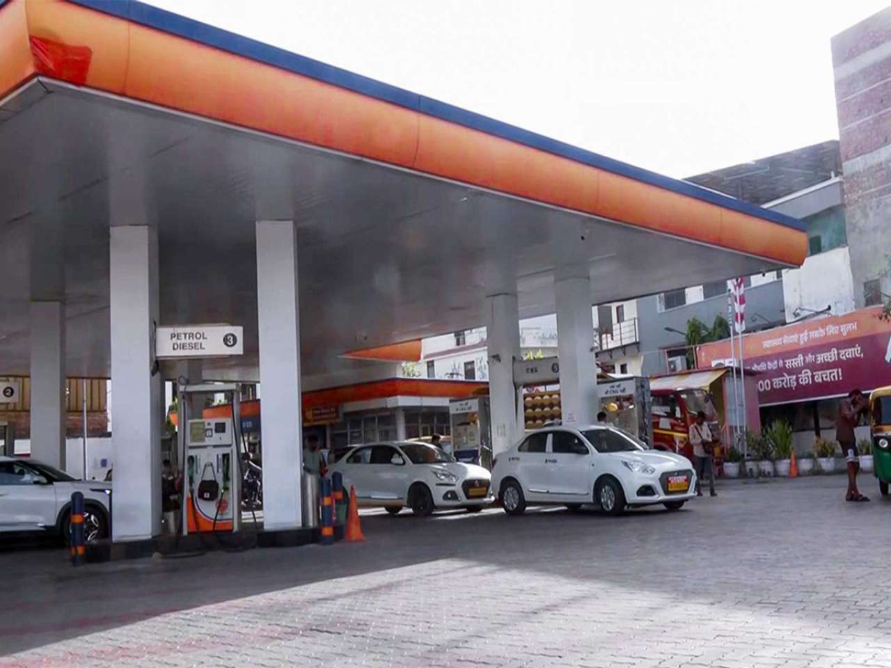 Why can't consumers choose pure petrol or E10? Centre explains why E20 is now the standard fuel
 Centre claims E20 fuel does not damage engines, cites data from Maruti Suzuki and Hero MotoCorp
 Maruti WagonR Flex Fuel: What’s price of India’s first ethanol car? Specs, mileage, and top features explained
JAIPUR
The aim is to boost planned development

Updated : May 17, 2018, 06:05 AM IST




The urban development department will prepare a map of existing land use of areas falling in the municipal limits of all towns of Rajasthan. Land use map along with base map of the area is proposed to be referred by respective urban local body for extension of various municipal services, such as land use change, building plan approval and others. Thus ensuring these services even for many of those with ‘existing’ land use in contradiction to use depicted in master plan of the area.
The base map and existing land use map are being drafted in process of development of Zonal Development Plan of all urban areas. “To boost planned development and to detail out the proposals pertaining to Master Development Plan, the state government has decided to prepare Zonal Development Plans for all towns of Rajasthan,” says a senior urban development officer.
According to the officials, these zonal development plans shall focus on the ‘uniqueness’ of the zonal area while planing. Along with base and existing land use map, the zonal plan will contain zonal land use plan, proposals as per zoning/Development Control Regulations, Proposals for infrastructure and shall adhere to guidelines previously issued regarding review of Master Plan.
The development of zonal development plan was earlier proposed under the proposed Rajasthan Regional and Urban Planning Bill, 2018. However, the bill could not be tabled despite inviting objections on the draft of the bill. The proposed bill was considered as an attempt to circumvent the restrictions imposed by High Court on alteration of master plan.
The restrictions have posed challenge for the state government as it intends to regularise ‘unauthorized settlements’ in several cities. The proposed bill, however, could not be tabled at the last session of the current state assembly and the state government has now decided to proceed with development of zonal plans under the urban improvement and municipal acts of the state.
Land use map along with base map of the area is proposed to be referred by respective urban local body for extension of various municipal services, such as land use change, building plan approval and others. Thus ensuring these services even for many of those with ‘existing’ land use in contradiction to use depicted in master plan of the area.