Reported By: | Edited By: Nitin Gokhale |Source: DNA |Updated: Mar 08, 2018, 08:57 AM IST
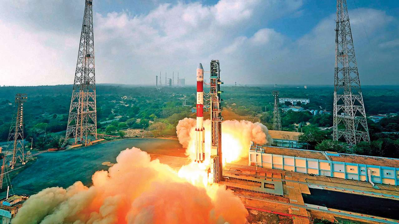
Just a month into office, Prime Minister Narendra Modi had travelled to the Indian Space Research Organisation (ISRO) facility to witness the launch of the PSLV-C23 satellite. In his speech after the successful launch, Modi praised the ISRO scientists for their stellar work and then stunned them into momentary silence by posing a challenge. “Today, I ask our space community, to take up the challenge, of developing a SAARC Satellite — that we can dedicate to our neighbourhood, as a gift from India. A satellite, that provides a full range of applications and services, to all our neighbours. I also ask you, to enlarge the footprint of our satellite-based navigation system, to cover all of South Asia.”
Initially, the assembled scientists did not know what to say. However, in less than three years after the Prime Minister challenged the ISRO scientists, they came up with the answer. On May 5, 2017, the SAARC satellite was launched from Sriharikota, opening a new chapter in space diplomacy.
The 2,230 kg GSAT-9 is a Geostationary Communication Satellite. Data from it will be shared with five neighbours (Bhutan, Nepal, Sri Lanka, Bangladesh and Maldives). It will help to meet the growing telecommunications and broadcasting needs of the region. All participating nations will have access to at least one transponder, using which they can telecast their own programming. The countries will develop their own ground-level infrastructure. The satellite is expected to provide communication channels between countries for better disaster management. Afghanistan is also expected to join the group soon. As a scientist in ISRO says, “For smaller countries, this is a dream come true. To lease a transponder, a lot of money has to be spent. But here India has gifted them a permanent asset.” Apart from the obvious use (telecommunication, broadcasting), leaders of these six countries can have secure dedicated one-on-one communication through the VSAT facility that the satellite provides, explained ISRO officials. The leaders can also have a video conference between themselves if they so wished, thanks to the SAARC satellite.
In a way, by dedicating a separate satellite for the neighbourhood, Modi has taken his favourite theme of Sabka Saath, Sabka Vikas, beyond India’s own physical boundaries. An early example of helping neighbours through satellites came in Nepal. In August 2014, a massive landslide blocked Sun Koshi river in Northern Nepal indicating the possible formation of a lake. This created flood threat for several villages downstream in Bihar. ISRO immediately swung into action, acquired the images and helped, India’s National Disaster Relief Agency (NDMA) to get the exact location and extent of the landslide to come up with controlled blasting of the landslide so that the blocked water was released slowly, averting flash floods in Bihar. This operation was made possible because ISRO now coordinates closely with Inter-Ministerial Group for Emergency management at the Centre. IMEG helped coordinate the relief operation in Nepal and later in September 2014 in Srinagar too.
But that’s not all.
While ISRO has always been a pace-setter in space application, under the current dispensation it has harnessed the technology much better. Take the example of ‘island mapping’ programme launched in 2015. Apparently, in one of the meetings in the PMO sometime in June 2015, Modi asked the number of islands India possesses. As officials from MHA scrambled to get the exact figures from Survey of India, some officials in the PMO itself tried to add up the number by getting the figures from state governments and from the census records. But the figures varied widely. It was clear that the records were old and not updated in years.
ISRO scientists got down to work immediately with a hand-picked team. They were asked to not just determine the numbers but also look at the exact status, distribution and area (of the islands). The scientists were particularly told to recheck the status of the islands that were on the Survey of India list from the British days. The fear was that some of them would have gone underwater while some others would have sprung up.
The unspoken apprehension behind the exercise was the possibility of some remote, uninhabited island in Andaman-Nicobar territory or around Lakshadweep or even in the Sundarbans being occupied by inimical forces. Once the number was determined, the ISRO team developed an Island Information System that has 34 attributes. At the same time, ISRO satellites are keeping a continuous watch on these island territories.
The Island Information System apart, ISRO now has the ability acquire images from as far as 36,000 km up in the space and yet give a resolution of less than 100 cm empowering Indian security agencies like the National Technical Research Organisation (NTRO) and other intelligence arms to monitor real time activities of India’s adversaries. Over the past three years, a separate Special Projects Division has been formed at the ISRO headquarters to work in close coordination with the national security establishment. The head of this division reports directly to Deputy National Security Adviser.
Under this new arrangement, all strategic requirements of armed forces and intelligence agencies are handled by the Special Projects Division. So, for instance, while new and powerful ISRO satellites are continuously monitoring India’s immediate and extended neighbourhood as a matter of routine, a specific request like the one to hover over areas in Pakistan-Occupied Kashmir (PoK) in the wake of Uri attack in September 2016 was handled by the Special Projects Division. For a week in the run up to the surgical strikes in late September that year, ISRO kept a close and specific watch on terrorist camps and movement of Pakistani army troops. When Indian Special Forces crossed the Line of Control (LoC) and struck several locations inside PoK, real time surveillance was mounted by ISRO both to capture the assault and to monitor any threatening movement against the Indian Special Forces teams.
Clearly, ISRO assets have got strategically aligned. Earlier, it was largely technologically focused.
The writer is a strategic affairs analyst, author and founder of BhartShakti.in, a specialised defence website