The platform crowdsources satellite image analytics from amateur archeologists to spot heritage site looting across the world.
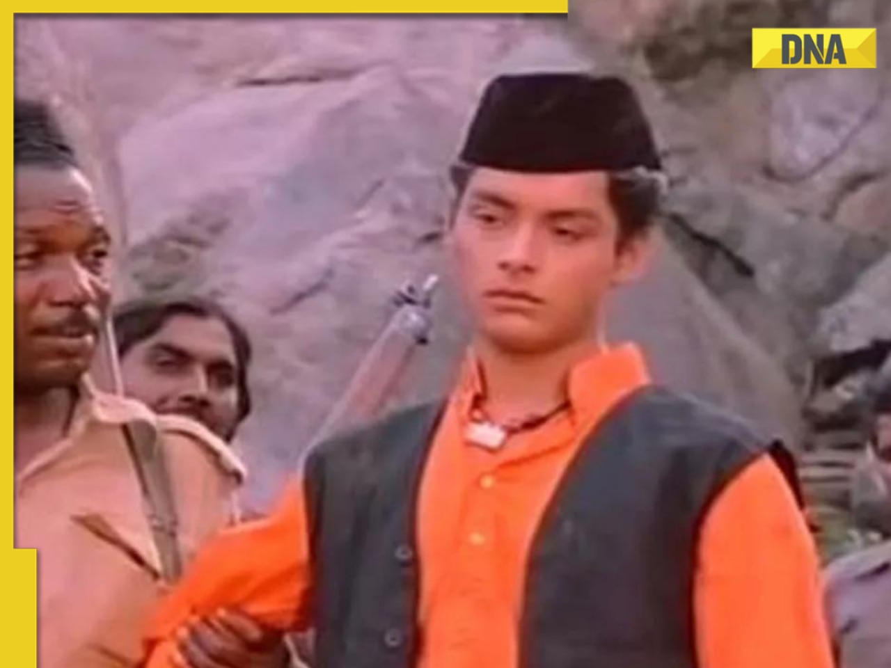
If you’ve ever had fantasies of being an archeologist of the likes of Indiana Jones or Lara Croft but aren’t keen on the dust and peril, this might just be the ticket. A new software has been released that lets you become a treasure hunter right from the comfort of your own home. archeologist of the likes of Indiana Jones or Lara Croft but aren’t keen on the dust and peril, this might just be the ticket. A new software has been released that lets you become a treasure hunter right from the comfort of your own home.
Sarah Parcak, an American archeologist and remote-sensing expert has just launched a software of her own design, that could help protect heritage sites the world over. GlobalXplorer, which won the $1 million TED prize in 2016, lets amateur archeologists work alongside experts in the field to help uncover crucial dig sites using satellite imagery.
“The world’s hidden heritage contains clues to humankind’s collective resilience and creativity,” Parcak said. “It’s up to all of us to protect this heritage, and with GlobalXplorer we are empowering a 21st-century army of global explorers to discover and protect our shared history.”
GlobalXplorer, originally pitched as a “global alarm system” for heritage sites, has been developed in partnership with TED, National Geographic, and Digital Globe. It makes use of high-resolution and infrared imagery from satellites, which are then distributed to users through the software. Essentially, the project crowdsources intelligence gathering from volunteers to pinpoint archeological sites, as well as spot heritage site looters. Users are given a tutorial regarding the tell-tale signs of buried architecture and excavations, and are then fed a slew of images to pore through and scan for matches. An alternative to designing an image recognition algorithm, this uses human volunteers to manually examine data which, if flagged as positive, is then passed on to experts, drastically slashing the amount of time needed for a global scan by a small team.
Parcak initially turned heads when her software aided in the discovery of 17 pyramids, thousands of tombs and settlements, as well as mapping out an entire city of ancient Egypt, all without having to be on the field. Instead, the infrared images she gathered from satellites spotted buried structures that were invisible to the naked eye.
In order to protect the sites from being tampered with by malicious actors, all location and GPS data from the images supplied in GlobalXplorer are withheld. Once potential discoveries are unearthed by amateur scientists, the data can be handed over to the country of origin, so local government officials and academics can then take action.
Of course, the job for citizen scientists doesn’t actually demand the use of a whip or dual pistols, but a little harmless dressing up for the job can certainly be overlooked.


 "image recognition, crowdsourcing, TED Prize, Archeological Sites, Indiana Jones")


)
)
)
)
)
)