Reported By: | Edited By: Parineeta Dandekar,Himanshu Thakkar |Source: |Updated: Nov 28, 2016, 12:42 PM IST
Sikkim Lepchas have a delightful story of how the Teesta and Rangeet, lovers and friends, raced each other and met in the plains. While a beautiful story in itself, it tells of the rocky path of Rangeet and of the meandering curves of Teesta. Nuanced understanding of hydrology and river systems is found across the subcontinent, intertwining lore with reality.
But this is not specific to India. Globally, potomology or the science of rivers is still fumbling. While the number is debated, India has 14 major rivers including Ganga, Brahmaputra, Brahmani, Cauvery, Godavari, Indus, Krishna, Mahanadi, Mahi, Narmada, Periyar, Sabarmati, Subarnarekha and Tapti, 48 medium rivers, hundreds of smaller rivers, streams, flood plains, ox bow lakes, riparian areas, wetlands, mangroves and estuaries.
Indian rivers can broadly be classified as Himalayan and Peninsular. The Tibetan Plateau or the ‘Roof of the world’ has some of the most important Himalayan rivers: Indus, Satluj, Siang (the main stem of Brahmaputra) and Karnali. Ganga (Bhagirathi) originates from the 30 km long Gangotri Glacier in Gadhwal, Himalayas. Together, Ganga and Brahmaputra river system drains nearly 40 per cent of the country.
Due to their steep gradient, high velocity and the nature of sedimentary rocks, Himalayan rivers carry a huge load of silt: rocks and boulders in the higher reaches and fine sediment in the lower reaches. Ganga-Brahmaputra system carries one of the largest silt loads in the world. Himalayan rivers show two peaks in their flows: one during monsoon and one during summer.
On the other hand, most of the rivers in Peninsular India have their origins in the mighty Western Ghats. Depending on where they originate, rivers are either short and swift west-flowing, or long and mighty, flowing to the south and east. The flow, its pattern, and the silt load are linked to their headwaters. So if the Tibetan Plateau is the Roof of the World, Western Ghats are the Water Towers of Peninsular India.
This neat equation of Himalayan and Peninsular rivers is punctured by two misfits: Tapi and Narmada, delightful rivers arising in the Satpudas. They flow toward the west, tracing lines of an ancient rift valley. It is here that we understand why a river is the daughter of the mountains, like Narmada is the daughter of Maikal ranges, which feed her headwaters and give her strength.
Rajasthan is a land where rivers have mostly inland basins. So they either disappear into salt lakes or into the desert itself. Like Luni, or Lavanari, the salt river, which is the largest such river to disappear into the Rann of Kutch.
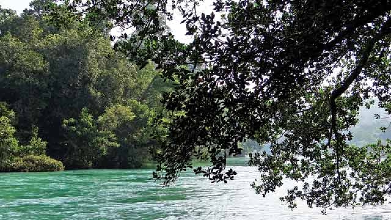
Rivers of the northeast, almost all tributaries of the mighty Brahmaputra, need a special mention. The rivers are mostly freeflowing and are universities of astounding goods and services: water, fish and silt. There is a huge hydropower rush happening in this virgin corner, most of it in an unplanned, opportunistic manner.
This is just a glimpse of our heritage..Rivers are a complex phenomenon, linking rainfall, groundwater, forests, soil and rock.. and so linking habitats and communities in their wake!
Himanshu Thakkar is the co-ordinator of South Asia Network on Dams Rivers and People. Parineeta Dandekar is the Associate Coordinator of SANDRP