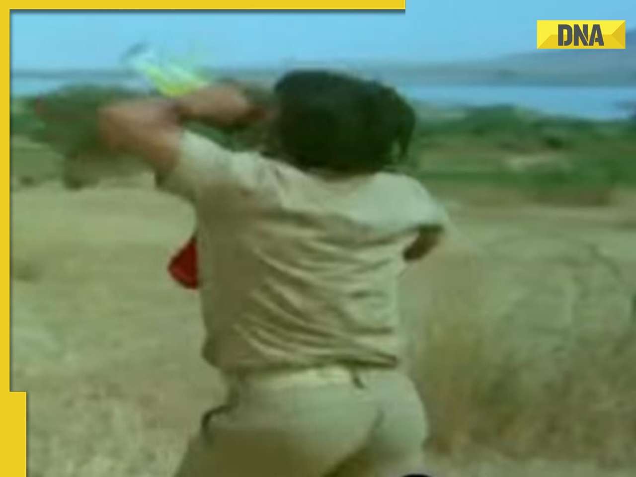
Sudhir Mungantiwar says this will help detect and crackdown on illegal tree cutting and encroachments
The Maharashtra forest department is working on using satellite images of forests in the state to detect and crackdown on illegal tree cutting and encroachments.
"We are undertaking satellite mapping and satellite surveillance," finance minister Sudhir Mungantiwar, who is also Maharashtra's forest minister, told dna, adding that the state government had collaborated with the Maharashtra Remote Sensing Application Centre (MRSAC).
This will also improve monitoring with senior officials being able to gauge what was happening at the grass-root level and thus, zero down on errant staff, he noted. Mungantiwar said satellite images would help reveal and stop illegal tree felling and encroachments in forest areas. He added that use of satellite imagery had helped conserve mangroves and prevent their destruction leading to an increase in mangrove cover by 36 sqkm since 2013.
A senior forest department official explained that they were superimposing real forest maps on these satellite maps to locate variations. "Thus, we can detect changes in the forest cover," he explained. The official added that an analysis of the Nagpur division alone had thrown up over 800 points where forest cover had changed and ground reports had been sought from the officials concerned.
However, the official said that these satellite images were from 2011 and not real-time and admitted that there was a dissonance in the scale used in these maps and those of the forest department. "The idea is to arrive at a comprehensive solution," he stated, adding that they were working towards gradually getting real-time, updated data.
Forest is the second largest land use after agriculture in Maharashtra. According to the India State of Forest Report, 2015, (ISFR) published by the Forest Survey of India (FSI), India's recorded forest areas (RFAs) cover is 23.26% of the 32,87,263 sqkm geographical area. The report said that Maharashtra has RFAs of 20.01% of the total geographical area (61,579sqkm of 3,07,713 sq km). The National Forest Policy, 1988 has set a target of 33%.
The forest department is increasingly turning to the use of technology to prevent forest and wildlife related offences like tree felling and encroachments and tracking forest fires and plantations. The state government has also begun distributing GPS-enabled personal digital assistants (PDAs) to forest guards.
Once the guard detects any offence like tree-felling or poaching on his beat, he has to geo-tag the location on the PDA--which is like a mobile phone--click a photo and upload it on the central server after which it will be tracked by those in the chain of command. This is faster than the manual system where paperwork would take days to reach senior officials.
Views on this move:
"Satellite images have been the biggest legal tool currently to fight save the mangroves and using that we have saved over 425 acres of mangroves at Dahisar as well as are currently fighting legally to save several others as no one can forge these and hence this is a good move to fight against encroachments and forest destruction.
— Harish Pandey, president of New Link Road Resident Forum
"Using technology available to save the environment is always welcome. In fact, its effectiveness has been shown in cases that Mangrove Cell has used satellite images in the High Court after which the courts said to use it even for forests. But one should always remember these are preventive tools. Nothing can work like effective control on the ground itself to not allow any kind of encroachment or destruction of tree or mangrove cover for which a stronger political will is needed."
—Stalin Dayanand, Director Project, Vanashakti NGO


 "Forest department")


)
)
)
)
)
)