Reported By: | Edited By: Aneesh Gokhale |Source: DNA |Updated: Jun 02, 2019, 07:00 AM IST
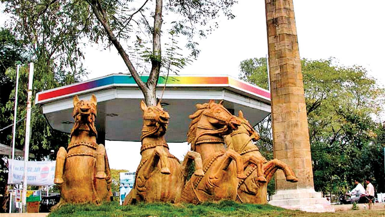
A stone pillar stands in the city of Nagpur, known quite simply as the Zero Mile Stone. Set up during the days of the British Raj, some say it marked the then geographical centre of India. Various distances have been marked on the pillar. There are other such pillars in the country which are living relics of the Great Trigonometric Survey of India — a cartographic or mapping exercise that mapped the contours of India. A survey pillar stands in North Parganas, Bengal. Started in 1802 by the East India Company, it was completed nearly seventy years later in 1871! In the process, four surveyors, including George Everest started and completed their terms!
In 1802, William Lambton began surveying India under the auspices of the East India Company. He was a young British officer, serving in the British Army against Tipu Sultan. Already having shown his acumen at surveying land in the United States, his proposal to survey the Indian Peninsula was accepted by Arthur Wellesley. Using rudimentary instruments, in April 1802, the Great Trigonometrical Survey of India began near Chennai, then Madras.
Using a flat plain as a baseline and topographic features such as hills, the land was surveyed. The process consisted of carefully constructing accurately measured triangles, hence the name ‘Triangulation’. At the end of 1806, it was found that the width of the peninsula was forty miles lesser than the previously presumed measurements! In places such as Tanjore, the pinnacles of temples were used for triangulation.
In 1818, he was joined by a young assistant named George Everest. By this time, most of India had fallen to the British and the Peshwa had been pensioned off to Bithur (Kanpur). The Great Trigonometric Survey could now proceed north. A few years later, Lambton, rather fittingly, died at Hinganghat while travelling from Hyderabad to Nagpur to continue the survey. In twenty years of non-stop work, he had surveyed two lakh square miles of the subcontinent!
The work then passed on to George Everest, who surveyed up to Sironj in today’s Madhya Pradesh, till ill health required him to be recalled to England. Another officer — Joseph Olliver — in his absence surveyed the country from Sironj to Calcutta. Everest returned after spending five years in England, with improved instruments. He resumed work north of the river Chambal. While peninsular India had offered hills, mountains as also flag staffs and coastal features for the survey work, no such help was forthcoming in the flat plains of Terai. Frequent sandstorms added to the trouble. George Everest surmounted this difficulty by erecting observation towers of stone, each thirty feet high. Over the next few years, the survey progressed by the usual painstaking methods and star observations towards the Shivalik hills. Dehradun was also covered by 1841. Two years later, owing to ill health, George Everest retired, but not before he had completely changed the face of carrying out the survey. He brought new instruments and devised methods of calculation superior to his predecessors. He improved on Lambton’s slow method of triangulation and thus, covered a huge swathe of the country.
Just like Col Lambton’s assistant had succeeded him, Col Everest’s assistant, Col Waugh took over the operations. The next five years were spent in calculating the positions and heights of the humongous Himalayan peaks.
Seventy-nine Himalayan peaks were thus covered. Thirty of these peaks were renamed, including Peak No XV, which was renamed to Mt Everest. The survey progressed simultaneously under other officers — from Mumbai towards Mahabaleshwar and south towards Goa . While all this was happening, the East India Company had managed to annex Sindh and Punjab, and Col Waugh readily took up the new survey as a brilliant opportunity. Starting from the already surveyed portion of Dehradun, he proposed to do a continuous survey all across Punjab to Attock, and from Sironj to Karachi. Together, it came to over fifty thousand square miles. From 1856 onwards, under a surveyor named Montgomery, the survey moved north from Sialkot once again into the Himalayas, in what is now PoK. A number of peaks were surveyed, including a certain high peak called Godwin — Austen, named after another British surveyor who surveyed lakes and glaciers in Tibet. Its ‘temporary’ survey number has also endured — Mount K2! In five years, ninety thousand square miles were surveyed with observation stations being set up in the snow and at heights over six kilometres! While the Trigonometric Survey was mapping the broader contours of the country, a Topographical Survey was making more detailed drawings of the interiors. A parallel Revenue survey, even larger in scale was carried out to delineate village and land holding boundaries. Col Blacker succeeded Col Waugh, and in his tenure, the coastline from Calcutta to Madras was surveyed. It had taken over sixty years since Col Lambton began his survey from the same point!
In the centre of all these lines of triangulation mapping the four corners of the country, stands a stone pillar – the Zero Mile Stone!
Writer is author of Brahmaputra — Story of Lachit Borphukan